Convenient by car. Rent a car available from Nashik. Sharing vehicles, taxis auto available from Vani.
Reach By Bus:
Buses available from Nashik till Vani, Kalwan, from there buses and tourist
vehicles available ahead.
Reach By Train:
Trains available up to Nashik Road.
By Boat:
No boat route.
Facilities available
Accommodation
Food
Garage
Medical aid
Near By Places
Petrol Pump
Shelter
Souvenir
Location Details
During the rule of Shivaji Maharaj, this fort was under the Mughal Empire. The pages of history don’t state much about this fort. Probably this is the reason why there are not any historic remains seen here. This fort was a property of Baglan dynasty. It might be used to keep a watch on the neighboring activities just like the other forts near Satana. Since there are not much remains on this forts, it can be assumed that the fort is before the times of Chhatrapati Shivaji Maharaj.
User Experience
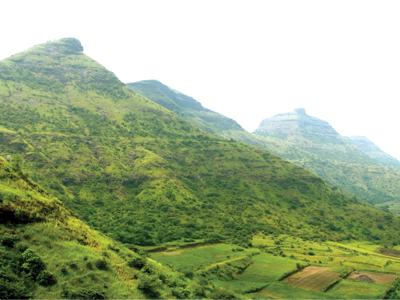
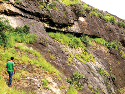
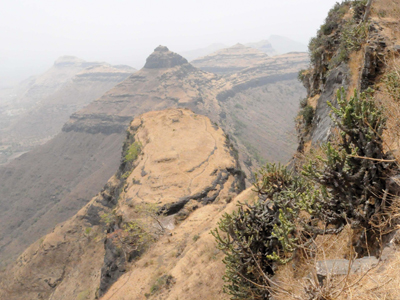
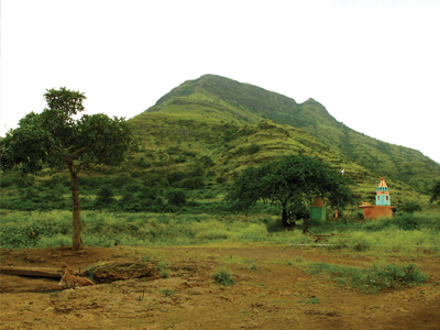
Bistha lies to the East of Salher on a range rich with natural beauty. Trees sparsely cover and shade the pathways which make the climb a bit comfortable in the otherwise schorching sun. While climbing and even after reaching the top, one does not see any remains of historic structures. The only signs of calling Bistha a fort are the caves and water tanks at the North. The North–South running range on which Bistha lies has many big small forts on it. Towards the North of the fort are Dermaal and Pisolgad. And towards the South are Karha, Dundha and Ajmera. The North of the range lies under forest and so is a bit difficult while that of the South is comparatively easy to access.
Do Not Miss
• Water tank on North side
• 3 Carved out narrow rectangular caves on South side with water tank on top
• A separated peak of the fort on North side gives an excellent view of Bistha fort to look like Tankai fort
• North side view of Pisolgad and Dermaal and Bijote village
• View of Kotbel village on East side.